Export Along a Polygonal Line
Results can be exported along a polygonal line.
WinProp's result data can be exported along an arbitrary polygonal line. Click . This polygonal route has to be defined in ProMan with the mouse. from the sub menu, you can either select to export the currently active result directly or to create a polygonal mask for multiple exports.
For the second case, the defined polyline is stored in an ASCII file which can be applied for several results. To draw the polyline press the left mouse button at the starting point and keep it pressed until the last point of the polyline is reached. To insert further points in-between click the right mouse button.
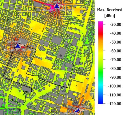
Figure 1. Example of a polyline created for export of data.
The result values are extracted along the route after the user has defined the sampling distance between two adjacent points and saved in an ASCII file. This file contains longitude, latitude and height information corresponding to each result value as well as the distance to the starting point.
Based on this feature, virtual drive tests are feasible. In contrast to the usage of real measurements, the drive test emulator will provide reproducible results along the defined routes. The shown evaluation of the best server map gives an impression of the required cell changes (hand over) during the drive test.
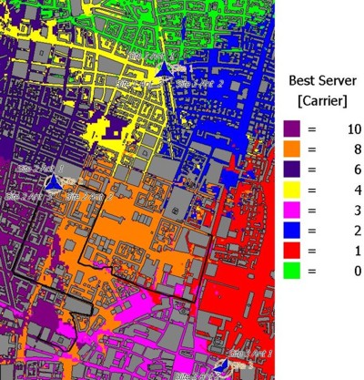
Figure 2. Example of the best server map.
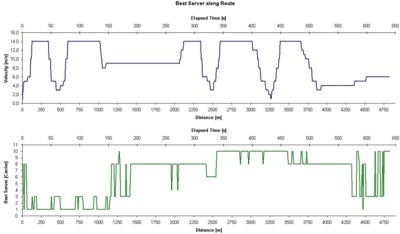
Figure 3. Example of a virtual drive test.