GPS Satellites
Calculate indoor satellite coverage from the GPS satellite system.
GPS System Specifications
This project uses various Block II series satellites to form a GPS (Global Positioning System) as a site. These were the first full-scale operational GPS satellites designed to provide 14 days of operation without any contact from the control segment. Later series systems such as the Block IIA and Block IIR-M improved to 180 days of operation and contained military signals and more robust civil signals.
Model Type
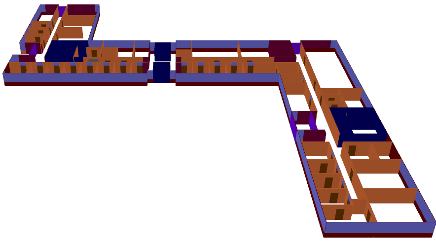
Figure 1. A 3D overview of the indoor database.
Sites and Antennas
The model contains nine different Block II GPS satellites. There are 5 satellites from the Block II-A series, 3 satellites from the Block IIR series, and 1 satellite from the Block IIR-M series. All the satellite antennas operate on the frequency of 1575.42 MHz. The transmitter power is 26.607 W.
Computational Method
Results
Propagation results show at every location the power received from each transmitting antenna by a hypothetical omnidirectional receiver. Figure 2 shows the received power results inside and outside the building. The satellite is located slightly south-east of the building resulting in short shadows to the north-west of the building.
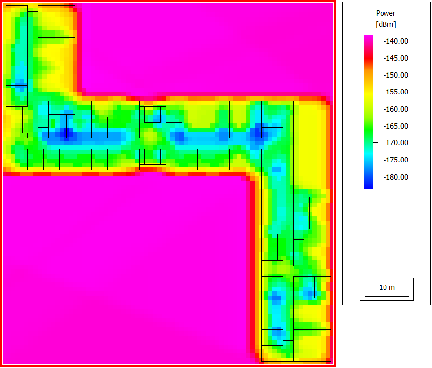
Figure 2. Indoor and outdoor power coverage of the GPS satellite, BIIRM-1 (PRN 17).