GPS Satellites
Calculate urban satellite coverage from the GPS satellite system.
GPS System Specifications
This project uses various Block II series satellites to form a GPS (Global Positioning System) as a site. These were the first full-scale operational GPS satellites designed to provide 14 days of operation without any contact from the control segment. Later, series systems such as the Block IIA and Block IIR-M improved to 180 days of operation and contained military signals and more robust civil signals.
Model Type
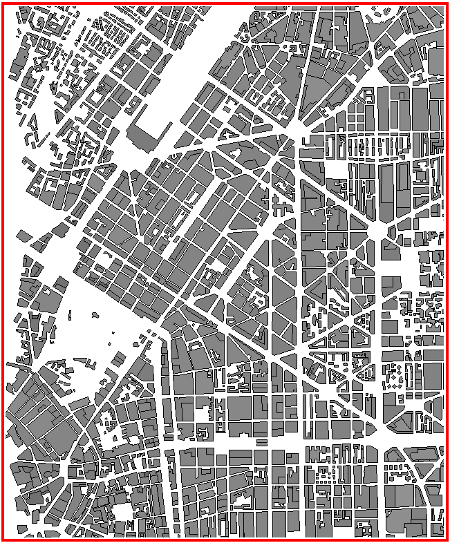
Figure 1. A 2D overview of the urban database.
Sites and Antennas
The model contains nine different Block II GPS satellites. There are six satellites from the Block II-A series, two satellites from the Block IIR series, and one satellite from the Block IIR-M series. All the satellite antennas operate on the frequency of 1575.42 MHz. The transmitter power is 26.607 W.
Computational Method
This computation method calculates the propagation in the horizontal plane by using ray optical methods (for the wave guiding, including the vertical wedges). Diffraction at roof edges is computed with knife-edge diffraction.
Results
Propagation results show at every location and for every individual transmitter, the power received by a hypothetical isotropic antenna. Figure 2 shows an example of a satellite transmitter that is not directly overhead.
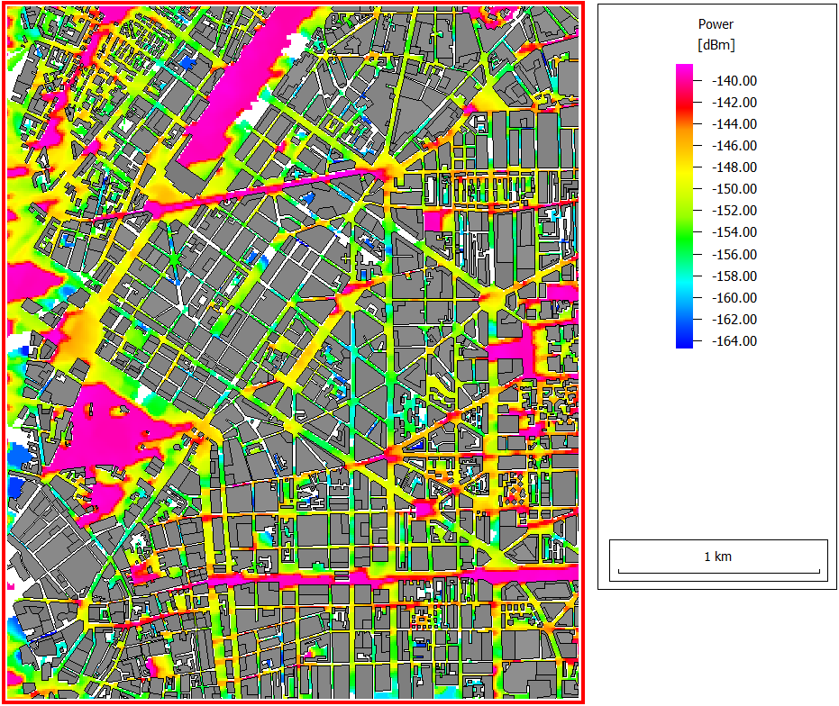
Figure 2. Power results for the GPS BIIA-28 (PRN 08) satellite