Rural, ITU P.1546
Calculate propagation in a rural scenario for the ITU P.1546 standard.
ITU P.1546 Standard
The ITU P.1546 standard is used for radio broadcasting propagation predictions for terrestrial services in the frequency range, 30 to 3000 MHz. It is intended for the use of tropospheric radio circuits over land, water, or mixed land-water paths up to 1000 km.
Model Type
In this rural/suburban scenario, the geometry is described by topography (elevation) and clutter (land usage such as forest, open area, residential). In the tree view, click Topography to view the topography database or Clutter/Morpho to view the land usage.
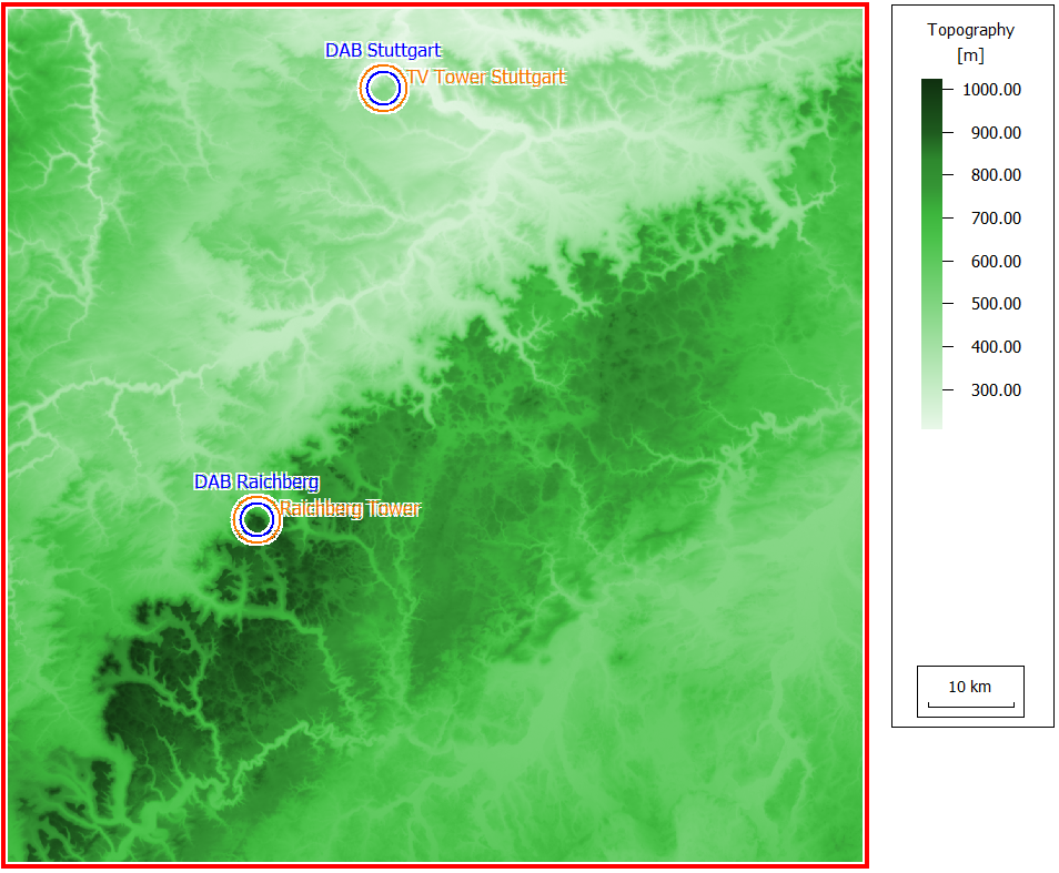
Figure 1. Topography for the rural area.
Sites and Antennas
Computational Method
The computation uses the ITU P.1546 broadcasting propagation model. The method is based on interpolation/extrapolation from empirically derived field-strength curves as functions of distance, antenna height, frequency, and percentage time. The calculation procedure also includes corrections to account for terrain clearance and terminal clutter obstructions. Location probability refers to the spatial statistics of local ground cover variations. Time variability allows for the validation of the model for a percentage of times within the range of 0 to 50%. Special settings distinguish between urban, non-urban, and sea areas.
In addition, the knife edge diffraction model provides an efficient extension for the coverage prediction beyond the line of sight.
Results
Results are computed for each transmitter at a prediction plane of 1.5 m. Propagation results in this project include power coverage of each transmitting antenna (that is the power which a hypothetical isotropic receiving antenna would receive) and the minimum number of interactions for both sites. As an example, the minimum number of interactions to reach any point for the “TV Tower Stuttgart” are as shown in Figure 2.
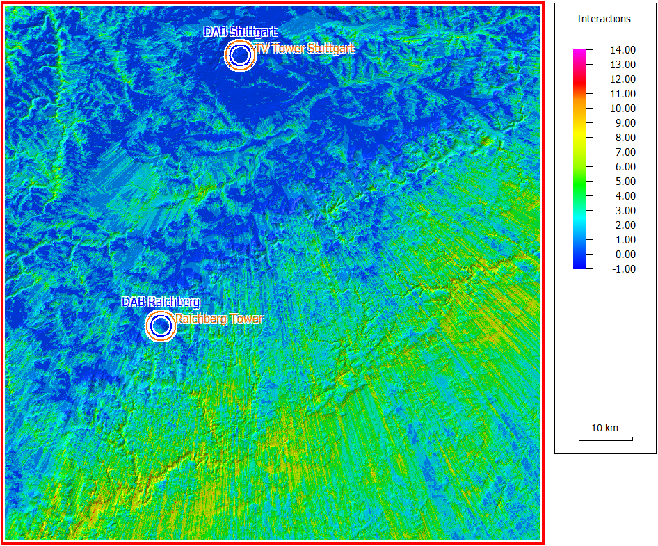
Figure 2. Minimum number of interactions required to reach any point for the “TV Tower Stuttgart”.