Urban
Urban scenarios, on a scale that includes more than a few city blocks and can easily include an entire city, justify giving up some geometrical detail. Buildings are modeled as polygonal cylinders. Each building can have its own material and height.
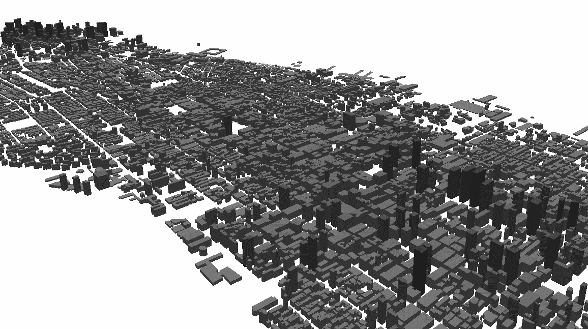
Figure 1. Buildings in an urban database are polygonal cylinders.
Elevation differences within the city can be included. Vegetation between buildings, such as a park with trees, can be included by specifying a volume and assigning a certain attenuation to this volume.
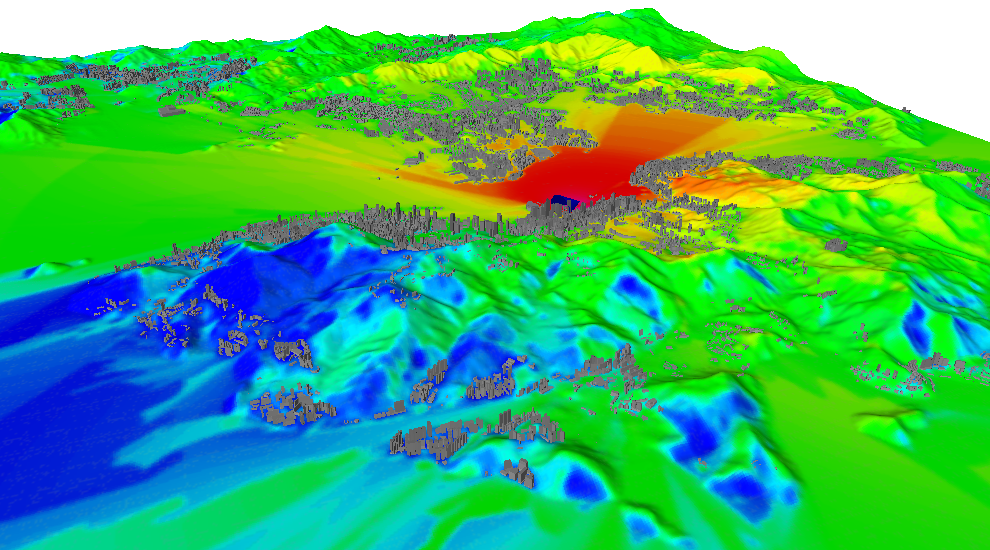
Figure 2. Propagation results for urban database combined with elevation map.
Note that the database in the above image is not a rural database because the buildings are still defined explicitly. One can transition smoothly from dense urban to spread-out suburban to rural.