Determining Building Height for Antenna Placement
In an urban scenario, antennas are usually placed at the top of a building. When defining an antenna site, you require the height of the building to ensure that the antenna is placed above the building not inside.
-
Determine the height of a specific building using one of the following
workflows:
- On the Display menu, click
 Balloon Tips.
 - On the Utility toolbar, click the
 Balloon tip icon.
The mouse cursor changes from a “+” to an “X”. - On the Display menu, click
-
Hover with the mouse over a building to view the building height in a balloon
tip.
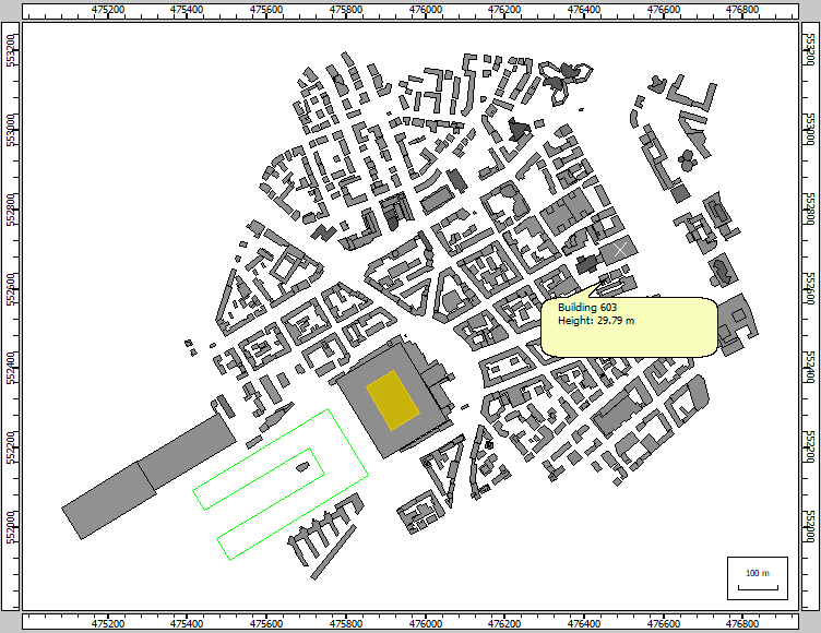
Figure 1. The height of the building at the mouse cursor is displayed in a balloon tip.